Extreme heat is one of Australia’s most dangerous natural hazards and it’s getting worse. Our new national data reveals which neighbourhoods across Australia are most at risk and why.


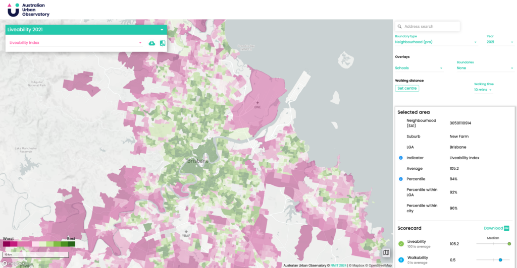
The Australian Urban Observatory is a ground-breaking digital platform that transforms complex data into easily understood indicators presented as maps of liveability across Australia’s largest cities.


For Planners and Policymakers
Are you a Planner or Policy Maker trying to find ways to improve the health and liveability of your city?
The Australian Urban Observatory enables you to understand walkability, access to schools, public transport and public open spaces in each of your neighbourhoods, to help decide which areas and people need resources the most.
You can also look at other neighbourhoods and suburbs across the country to find out what is working in comparable geographic or demographic areas.
For Developers and Consultants
Maybe you’re a Developer or Design Consultant looking for the next place to invest or how your project can improve liveability for the surrounding community?
The AUO connects your project with meaningful Corporate Social Responsibility targets. You can start by looking at indicators of housing, local employment, access to shops or community services at the suburb level and then narrow right down to the small local neighbourhood level.


For Teachers, Students and Journalists
Perhaps you are a Teacher or Student exploring liveability in Australia? Or a Journalist trying to understand the impacts of liveabilty for people and communities.
The AUO provides a unique resource measuring the major influences of liveability and shows how liveability changes across different locations and cities, leveraging years of evidence based research from RMIT University.


